Map the impossible. We deploy survey-grade photogrammetry and lidar to penetrate dense vegetation and deliver comprehensive canopy data, bare-Earth topography, hydrology models, and more.
Request a Project EstimateIn heavily wooded and complex environmental sites, relying on a single data type leaves blind spots. We deploy a dual-data approach to give your environmental scientists and engineers the complete picture.
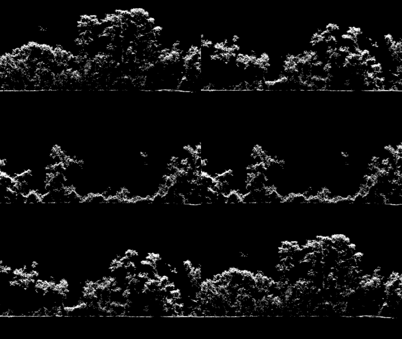
Strip away the brush. By leveraging lidar canopy penetration, we deliver perfectly classified Digital Terrain Models (DTMs) and high-resolution topographic contours for pre-development site planning in heavily wooded areas.
Accurate elevation data is critical for water management. We map vast river basins, wetlands, and watersheds to provide the foundational terrain data needed for flood risk assessment and drainage engineering.
Utilizing our photogrammetry orthomosaics and 3D visual meshes, environmental consultants can perform off-site visual inspections, track vegetation health, and map distinct ecological zones with absolute clarity.
Retain the 3D vegetation data for timber management and conservation. By fusing lidar structural data with photogrammetry, we provide precise metrics on tree height, canopy density, and overall biomass volume.
Environmental mapping rarely happens in convenient locations.
The Quantum Systems Trinity Pro gives us an incredible 90-minute flight time, capable of mapping up to 1,700 acres on a single deployment. More importantly, its VTOL (Vertical Take-Off and Landing) capability means we can launch from a tiny clearing deep in the woods, capture massive photogrammetry and lidar datasets, and land safely in the exact same spot.
Send us your KML/KMZ project boundary. Our mapping team will review the site to provide a customized flight plan and timeline.