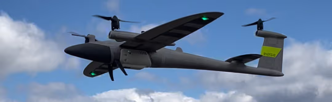
We don't compromise on data quality, which means we don't compromise on hardware. Our fleet is built around industry-leading fixed-wing VTOL platforms, multi-return lidar sensors, and GNSS ground control to deliver unquestionable accuracy and precision.
Get a Project Estimate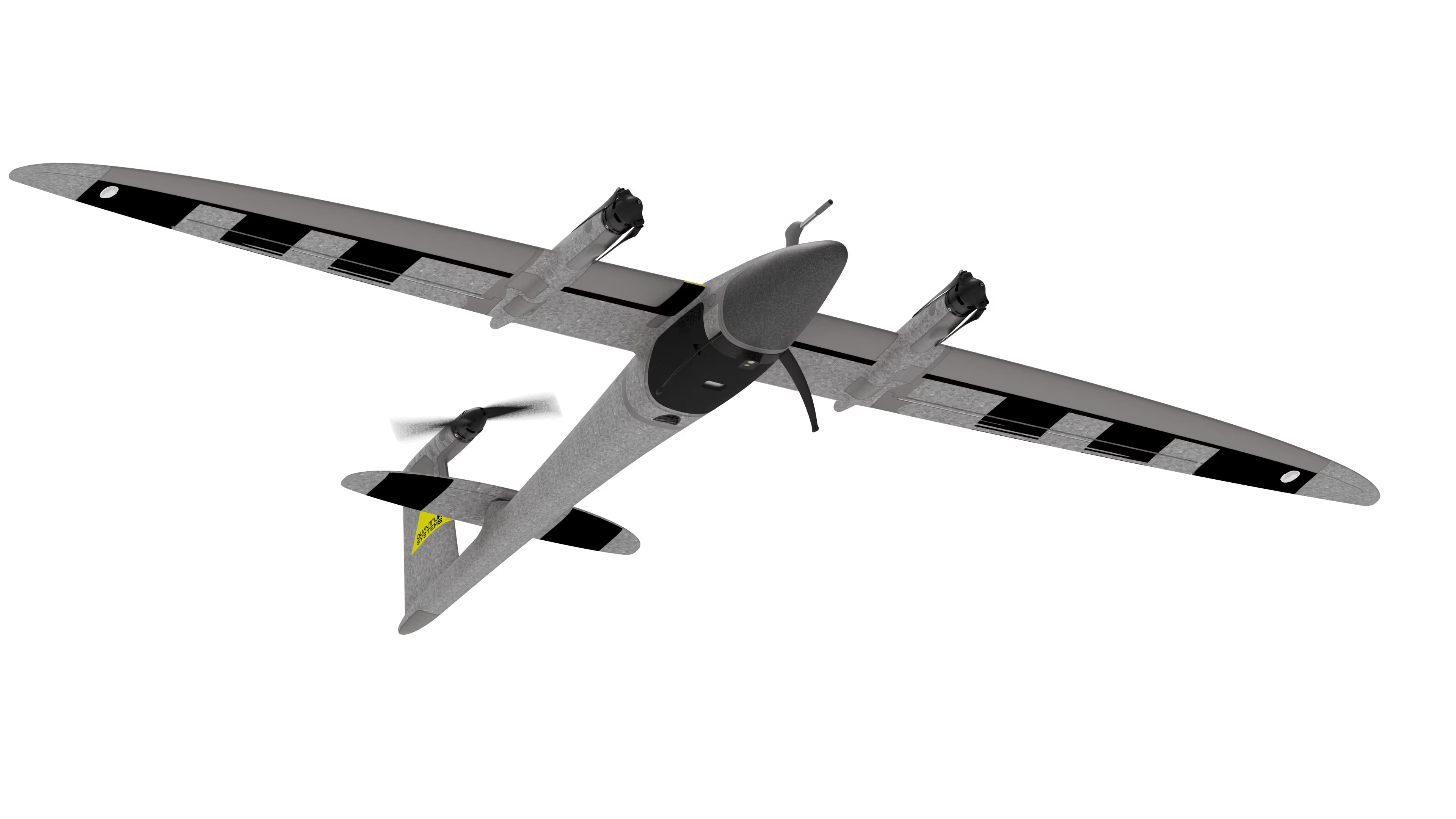
Maximizing coverage without sacrificing resolution. The Trinity Pro is a state-of-the-art VTOL (Vertical Take-Off and Landing) fixed-wing drone. It gives us the ability to launch and land safely in confined spaces while offering the massive flight times and area coverage of a traditional fixed-wing drone.
Our primary sensor for topographic mapping and forestry. The Qube240 is a high-end, survey-grade lidar system that captures massive amounts of 3D data.
When visual data is the priority, we deploy the Sony RX1R II. This full-frame, 42-megapixel sensor delivers stunningly crisp orthomosaics and 3D mesh models.
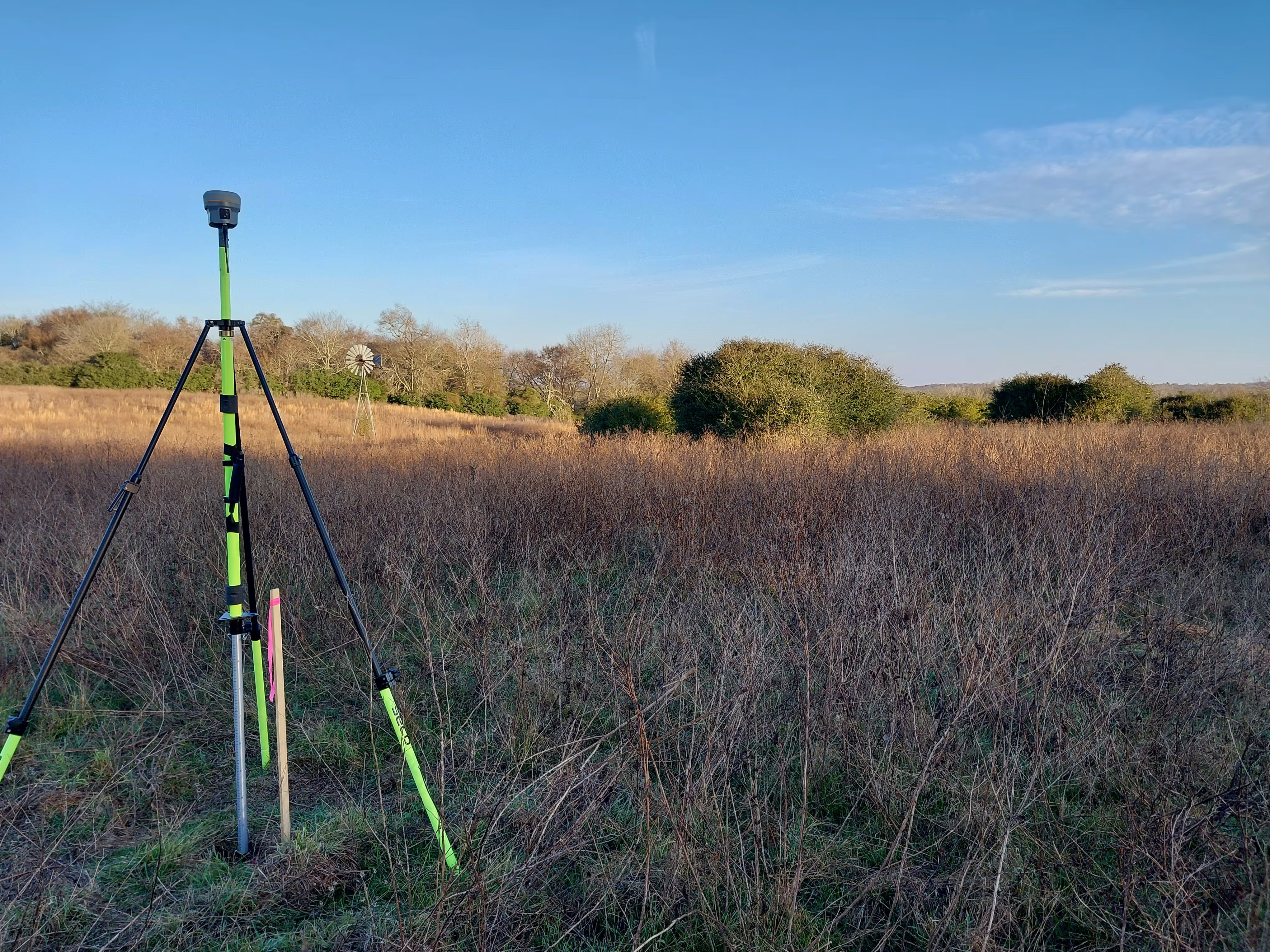
Top-tier drone payloads are paired with rigorous ground control. We tie all of our aerial data to known, verifiable coordinate systems using a Trimble R10 RTK GNSS receiver.
By logging raw static data on the ground while the drone logs data in the air, we utilize Post-Processed Kinematic (PPK) workflows to ensure your final deliverables are tight, precise, and immediately usable in your CAD or GIS software.
Skip the massive capital investment and the steep learning curve. Let us deploy our equipment as your in-house drone department.