Verifiable, high-density lidar data for professionals who demand absolute precision. From penetrating dense canopy for bare-Earth DTMs to generating architectural 3D meshes, we deploy multi-return YellowScan sensors to map thousands of acres safely and efficiently.
Request a Lidar EstimateLidar is the most reliable method to map the ground below a dense forest canopy.
Our YellowScan Qube240 sensor utilizes multi-echo technology. This allows the laser pulses to pass through gaps in the leaves and branches to strike the actual ground below, providing you with a true topographic map without sending a crew into the brush with machetes.
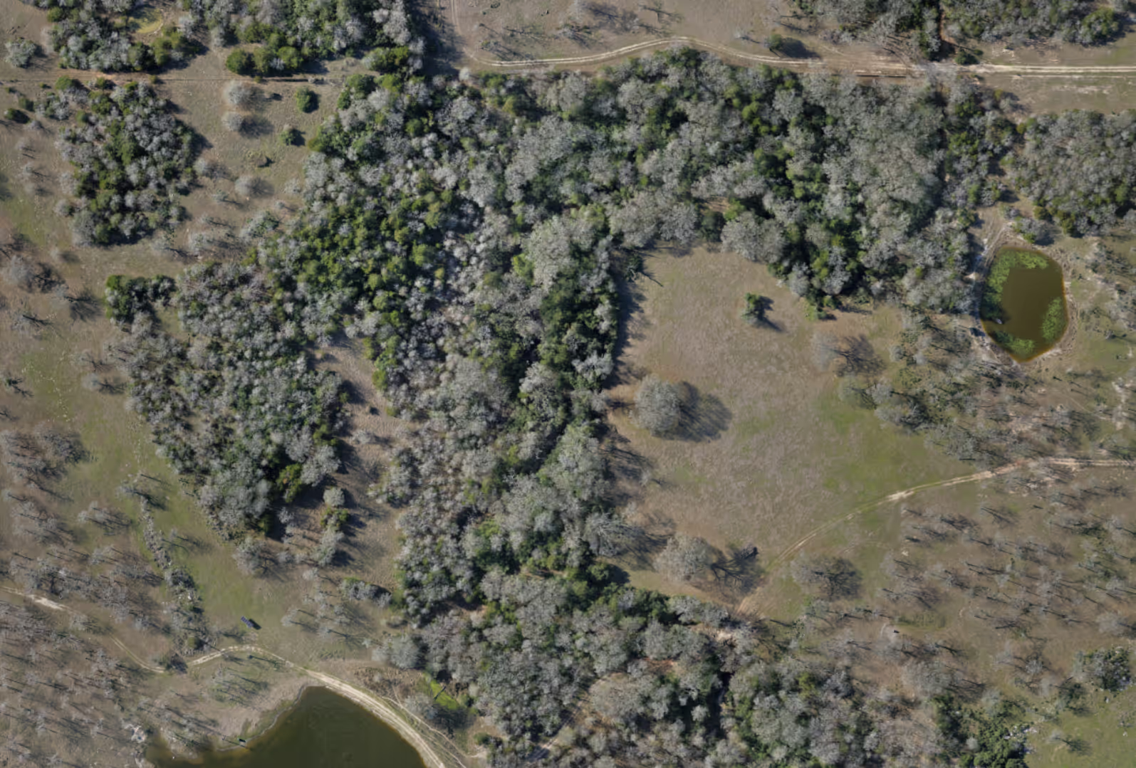
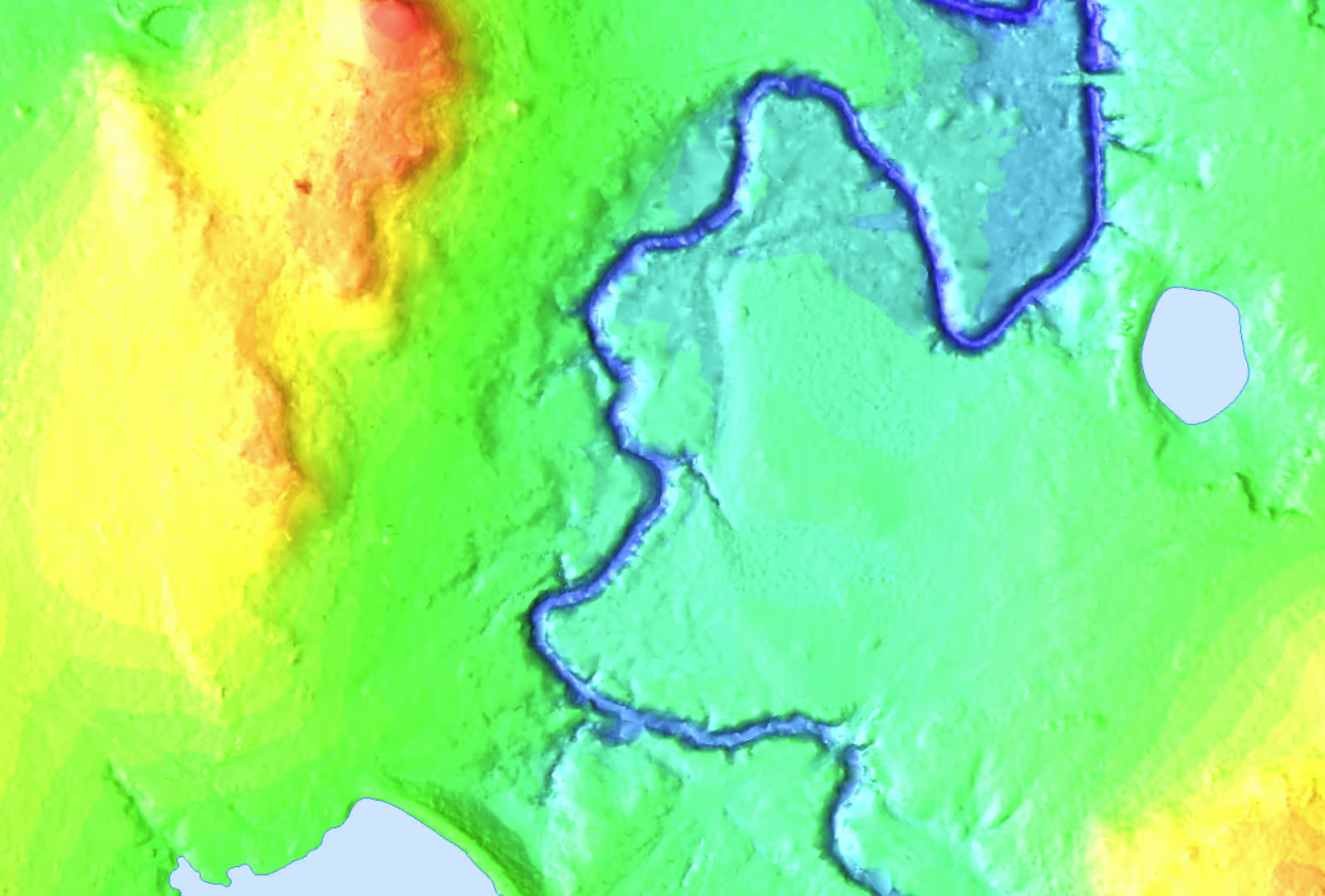
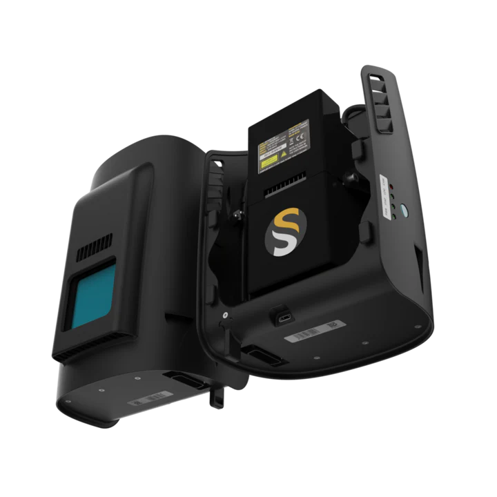
We utilize the YellowScan Qube 240 lidar sensor which generates 240,000 measurements per second.
Just like our imagery data, every lidar flight is anchored by our Trimble R10 GNSS network. By utilizing a Post-Processed Kinematic (PPK) workflow, we ensure every point maintains absolute global accuracy.
Millions of data points, meticulously classified into standard point classes, ready for import into your CAD or GIS software.
Accurate bare-Earth surface models stripped of all above-ground features. Essential for cut/fill analysis, hydrology, and site grading.
Clean, smoothed contour lines generated directly from the bare-Earth DTM. Delivered as 3D Polylines in standard .DWG or .DXF formats.
Send us your project boundary via KML/KMZ. Our dispatch team in Houston will provide a custom flight plan, mobilization timeline, and estimate.