Sub-centimeter visual data for civil design, construction monitoring, and volumetric analysis. We deploy full-frame, 42-megapixel sensors to capture photorealistic 3D site context with verifiable survey-grade accuracy.
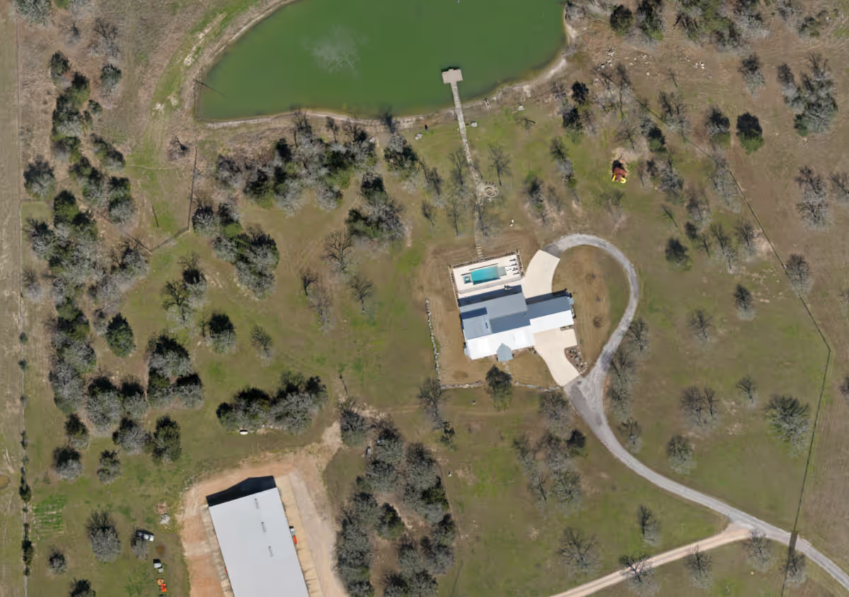
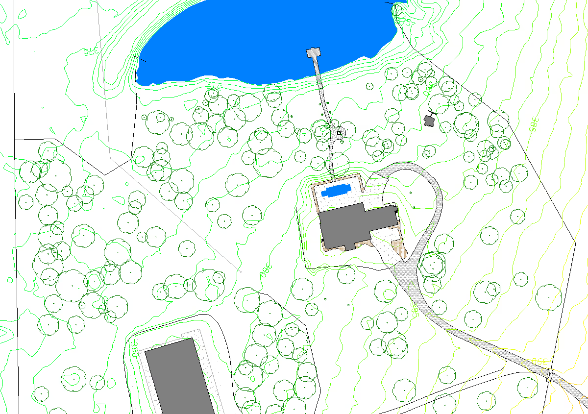
Request a Project EstimateWe generate a high resolution aerial image and into CAD-ready linework and print-ready PDF formats. The imagery and linework are delivered in formats ready to integrate into your existing plans.
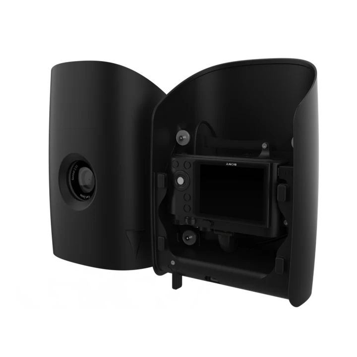
Many cameras warp images at the edges which diminishes data accuracy. We utilize the Sony RX1R II 42MP full-frame sensor, specifically calibrated for aerial mapping to eliminate lens distortion.
Just like our lidar data, every photogrammetry flight is anchored by our Trimble R10 GNSS network. By utilizing a Post-Processed Kinematic (PPK) workflow, we ensure every pixel maintains absolute global accuracy.
True-to-scale aerial image generated from thousands of overlapping images. Measure, track, and see your site in ultra-high resolution. Zoom in to see individual survey monuments, manhole covers, utility markings, and more.
Highly accurate vector data extracted from aerial imagery. Perfect for ALTA surveys, site development, and more. If you can see it from above, we can map it.
Send us your project boundary via KML/KMZ. Our dispatch team in Houston will review your site conditions and recommend the optimal payload and flight plan.